Pilot Information
Airport:
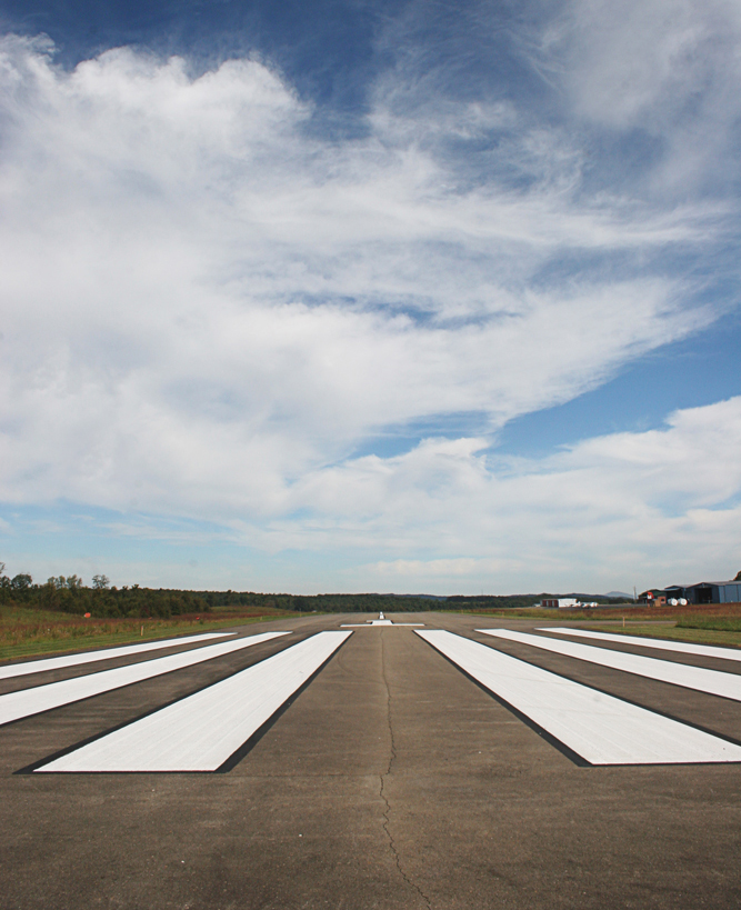
Runways 1 – 19:
Dimensions:
Pilot Controlled Lighting:
Pilot Controlled Lighting:
4204 ft x 75 ft (asphalt)
CTAF/UNICOM: 122.8 (3,5,7 clicks)
Prices:
100LL:
Jet-A+ (W/ FSII):
$5.20
$4.89
Airport:
Runways 1 – 19:
Dimensions:
4204 ft x 75 ft (asphalt)
Pilot Controlled Lighting:
CTAF/UNICOM: 122.8 (3,5,7 clicks)
4204 ft x 75 ft (asphalt)
Pilot Controlled Lighting:
CTAF/UNICOM: 122.8 (3,5,7 clicks)
Prices:
100LL:
$5.20
Jet-A+ (W/ FSII):
$4.89
Airport Communications:
CTAF/UNICOM: 122.8
WX AWOS-3: 118.375 (276-728-5897)
ROANOKE APPROACH/DEPARTURE: 126.0
Published Instrument Approaches:
RNAV GPS 01
RNAV GPS 19
IFR ALTERNATE AIRPORT MINIMUMS
TAKEOFF MINIMUMS
RUNWAY 01
True Alignment:
Traffic Pattern:
Latitude:
Longitude:
Elevation:
Threshold Crossing Height:
Visual Glide Path Angle:
Visual Slope Indicator:
Traffic Pattern:
Latitude:
Longitude:
Elevation:
Threshold Crossing Height:
Visual Glide Path Angle:
Visual Slope Indicator:
359°
Left
36-45-37.224 N
80-49-24.2774 W
2693.4 ft.
21 ft. AGL
3°
2-light PAPI on left
Left
36-45-37.224 N
80-49-24.2774 W
2693.4 ft.
21 ft. AGL
3°
2-light PAPI on left
RUNWAY 19
True Alignment:
Traffic Pattern:
Latitude:
Longitude:
Elevation:
Threshold Crossing Height:
Visual Glide Path Angle:
Visual Slope Indicator:
Traffic Pattern:
Latitude:
Longitude:
Elevation:
Threshold Crossing Height:
Visual Glide Path Angle:
Visual Slope Indicator:
179°
Left
36-46-18.7756 N
80-49-25.3642 W
2641.9 ft.
39 ft. AGL
3°
2-light PAPI on left
Left
36-46-18.7756 N
80-49-25.3642 W
2641.9 ft.
39 ft. AGL
3°
2-light PAPI on left
RUNWAY 01
True Alignment:
359°
Traffic Pattern:
Left
Latitude:
36-45-37.224 N
Longitude:
80-49-24.2774 W
Elevation:
2693.4 ft.
Threshold Crossing Height:
21 ft. AGL
Visual Glide Path Angle:
3°
Visual Slope Indicator:
2-light PAPI on left
359°
Traffic Pattern:
Left
Latitude:
36-45-37.224 N
Longitude:
80-49-24.2774 W
Elevation:
2693.4 ft.
Threshold Crossing Height:
21 ft. AGL
Visual Glide Path Angle:
3°
Visual Slope Indicator:
2-light PAPI on left
RUNWAY 19
True Alignment:
179°
Traffic Pattern:
Left
Latitude:
36-46-18.7756 N
Longitude:
80-49-25.3642 W
Elevation:
2641.9 ft.
Threshold Crossing Height:
39 ft. AGL
Visual Glide Path Angle:
3°
Visual Slope Indicator:
2-light PAPI on left
179°
Traffic Pattern:
Left
Latitude:
36-46-18.7756 N
Longitude:
80-49-25.3642 W
Elevation:
2641.9 ft.
Threshold Crossing Height:
39 ft. AGL
Visual Glide Path Angle:
3°
Visual Slope Indicator:
2-light PAPI on left